All images within this web site are copyrighted original works by David Schwaegler.


All images within this web site are copyrighted original works by David Schwaegler.
 |
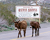
Fauna (3 images) |
|---|---|
 |
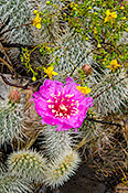
Flora (17 images) |
 |
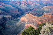
Landscape and Miscellaneous (56 images) |
| Coconino National Forest -- Oak Creek Canyon | Sedona, AZ | Along 179 and 89a north of Phoenix |
| Coconino National Forest -- Red Rock Loop | Sedona, AZ | Creates a loop on the south side of AZ 89A just west of Sedona. |
| Coconino National Forest -- Schnebley Hill Road | Sedona, AZ | From 89a in Sedona turn south on AZ 179 for a short distance then make a sharp left turn onto Schnebley Hill Road. Believe the sign that claims it is rough. |
| Dead Horse Ranch State Park | Cottonwood, AZ | In Cottonwood go north on 5th Street turn left on Dead Horse Ranch Road. |
| Grand Canyon South Rim AZ 64 Area | Grand Canyon, AZ | Along AZ 64 in the eastern part of the park |
| Grand Canyon Village Area | Grand Canyon, AZ | Western part of the park on south rim |
| Grand Canyon West Rim Drive | Grand Canyon, AZ | West of Grand Canyon Village |
| Petrified Forest National Park | Holbrook, AZ | East of Holbrook along I-40 |
| Prescott NF Granite Dells | Prescott, AZ | Prescott NF trails can be accessed from Heritage Park along the north side of the Willow Creek Reservoir. |
| Virgin River Canyon Recreation Area | Littlefield, AZ | Take the Cedar Pocket exit (18) on I-15 as it passes briefly through Arizona. |
| Warm Springs Wilderness / Oatman | Kingman, AZ | Historic route 66 (Oatman Rd) from Kingman through Oatman to Lake Havasu |